•
Project
•
People
•
Expeditions
•
Products
•
Images
•
Bibliography
•
Collections
•
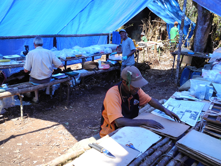
Documenting and discovering the diveristy of the vascular flora of Papua New Guinea.